| Kern River |

|
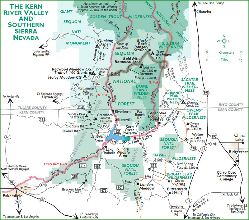
For most people, the Kern River means the North Fork of that river, which flows south through Kernville into the west side of Isabella Lake.
There is also a South Fork which flows into the east end of Isabella Lake. Finally, there is the Lower Kern which flows west from the lake into Bakersfield. It is a magnificent river to photograph. From the California Whitewater web site: |
| While the Kern River shares many of California rivers' common characteristics such as granite, ponderosa pines, and pool-drop rapids, the Kern definitely dances to its own beat. First, it spends most of its journey heading north to south, rather than the typical east to west flow of Sierra rivers. Second, it is both the longest river and largest watershed in the Sierra Nevada. And to top it all off, the Kern River is one of California's oldest river drainages. |
| Like most large rivers, the amount and force of the flow of water can be tremendous. People don't often realize the power and fury of such flow, and more than 280 people have died in the Kern since 1968. |
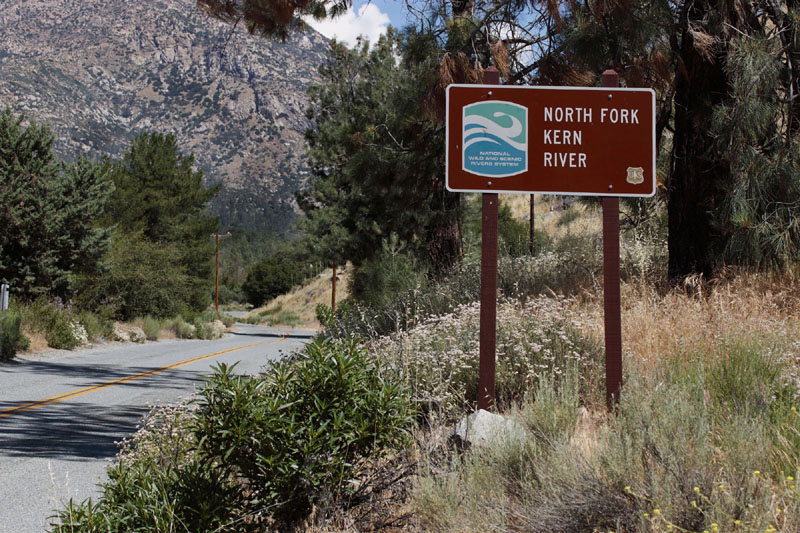
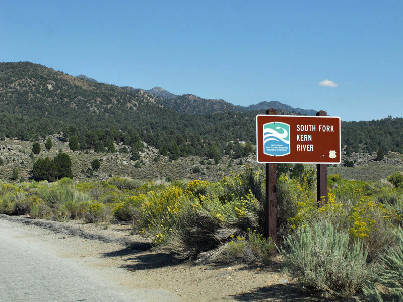
| As you travel roads along side the river, you will see signs indicating the Fork. |
| Photographs |
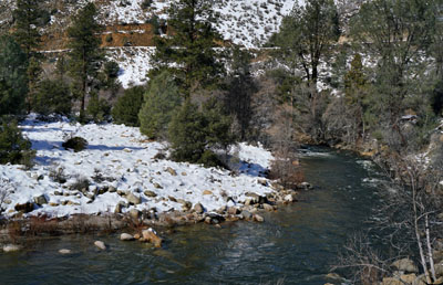 North Fork |
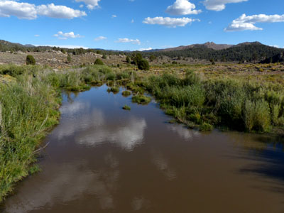 South Fork |
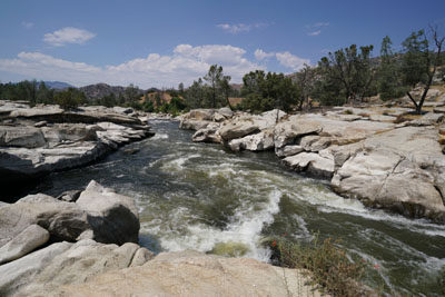 Lower Kern River |
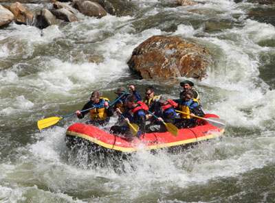 Sports on the Kern |
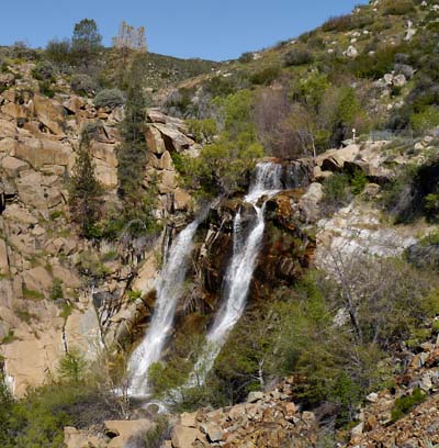 South Creek Falls |
| Return to Southern Sierra Nevada |