Ponderosa


image

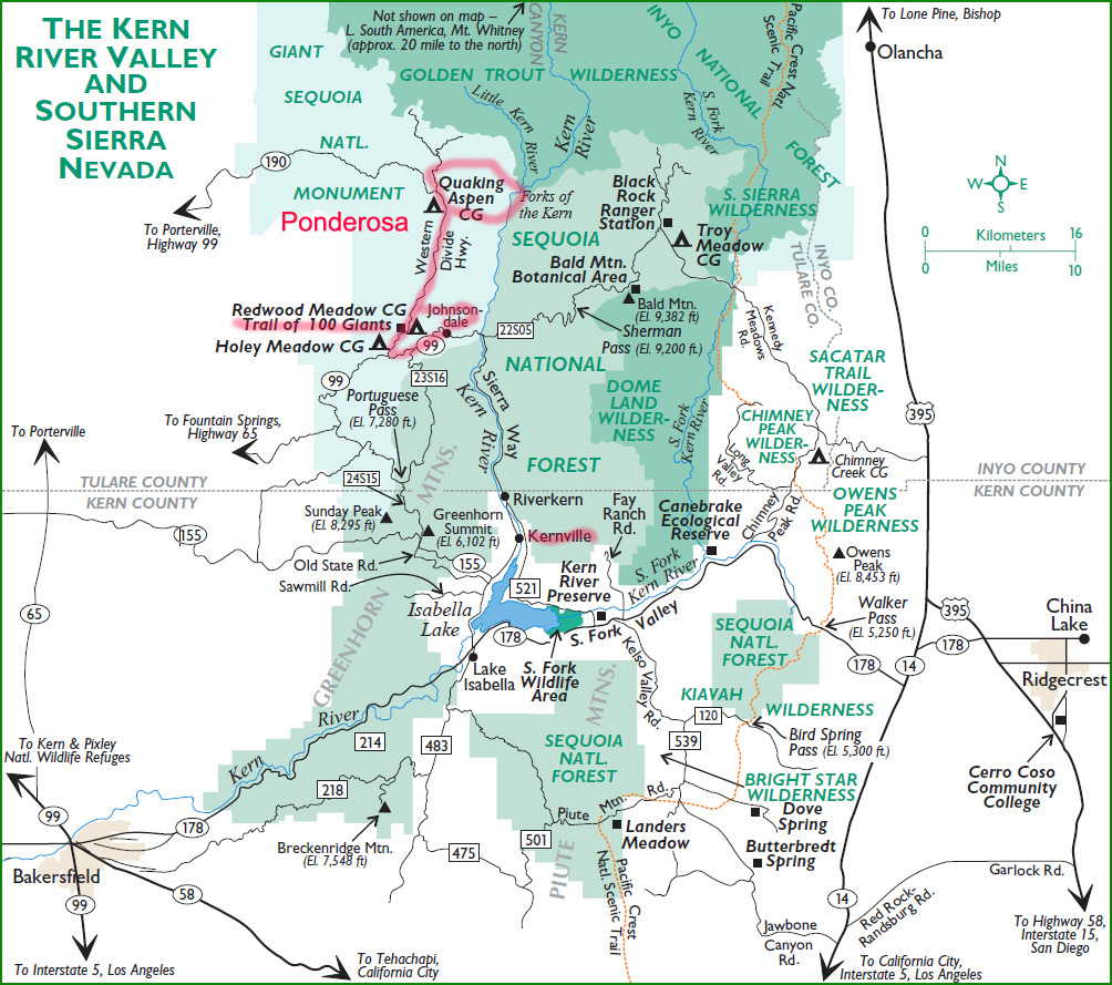
Ponderosa, with a population of 64, sits at 7200' high in the sierras. It is classified as a census-designated place (CDP) in Tulare County, California, about 45 miles north of Kernville, 5 miles north of the Trail of 100 Giants (location of the massive Sequoia Trees).

It is named for the abundance of the beautiful Ponderosa pine tree, which interestingly, is overshadowed by the corridor of Quaking Aspens just north of the Ponderosa Lodge along the Western Divide Highway.


Click on the photograph to view a larger size in a new Tab. In the new Tab, click on the photograph to switch between fit-to-screen, and full size, where you can scroll around to look at details.


01ponderosa3816w
Western Divide Highway flanked by Ponderosa Pines
02ponderosa2736w
Private company plows the highway through Ponderosa. In winter, the road out of Johnsondale is not plowed, so access to Ponderosa is from the west through Porterville.
03ponderosa3818aw 04ponderosa3822w
05ponderosa3825w 06ponderosa3826a-w
07ponderosa2738w
Ponderosa Lodge
08populus_tremuloides1270w
Quaking Aspens displaying fall colors
09populus_tremuloides3838aw 10populus_tremuloides3696w
11populus_tremuloides1271w 12populus_tremuloides1269w
13populus_tremuloides1268w
Bark of Quaking Aspen
14populus_tremuloides1302w
The flat, ribbon-like petiole allows the leaf to flutter in the wind, hence, the term "quaking."
15populus_tremuloides3722 16populus4331aw
Quaking Aspens in winter - about 2 miles north of the Lodge
17populus_tremuloides4333w
I was fortunate to drive up following a light snow before the road out of Johsondale was closed.
18quaker-meadow-camp3681w
Quaker Meadow Christian Camp, a few miles north of the Ponderosa Lodge


Return to Southern Sierra Nevada